Exploring the West Fork Rail Trail
Summary
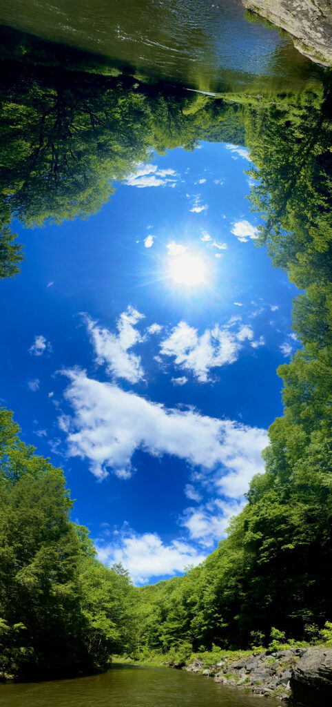
The West Fork Rail Trail offers a scenic hike or ride through some of West Virginia's remotest areas! Remember to practice Leave No Trace Principles when exploring to protect our wild and wonderful natural resources.
The Northern Trailhead of the West Fork Trail can be found outside the city of Elkins in the small community of Glady, WV. From there, you’ll hike 22 miles south until you reach Durbin. This trail offers many activities, from hiking and mountain biking to dispersed camping and horseback riding. The southern portion of the trail follows along the West Fork and Greenbrier Rivers, making it a perfect location for a quiet day of fishing. Even your furry friends can join, provided they are on a leash. Along the hike, you can spot some of the area’s unique wildlife, including beavers, deer, fishers, turkeys, and, if you’re lucky, bald eagles! With a wide view of the river and forest, you’re bound to spot some of the Monongahela’s many resident and migratory birds on the southern leg of your journey. The northern part of the trail takes you along the western side of the river, giving a scenic view of the mountains. The West Fork also connects with several other trails such as the 7-mile High Falls Trail , the 311-mile Allegheny Trail, the Burner Mountain Equestrian Trails and the 0.5-mile Whidney Park Rail Trail through the town of Frank. Additionally, the West Fork Rail Trail and neighboring Forest Road 44 feature dozens of interpretative signs that explore life at the turn of the century in now-abandoned logging towns such as Burner, Braucher, and Olive.
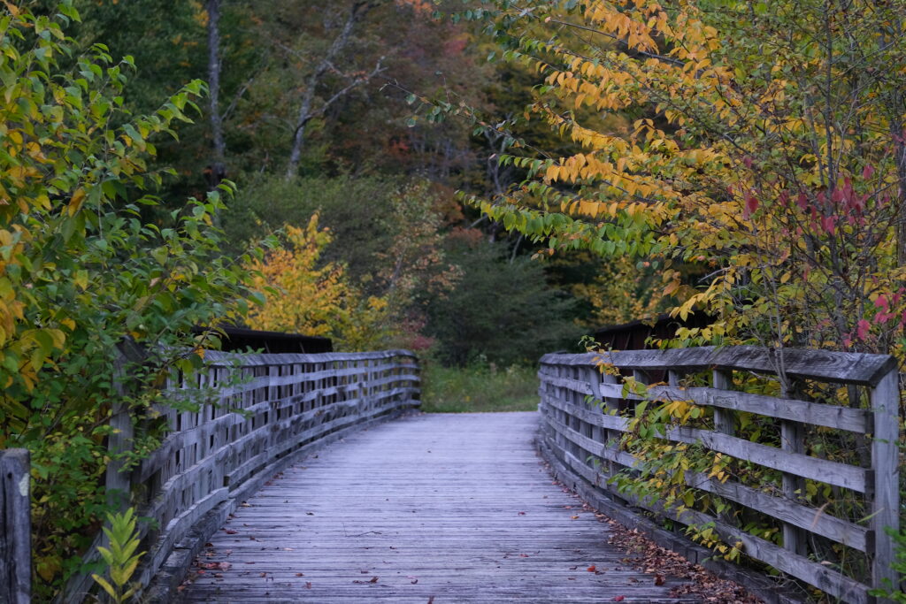
The West Fork Rail Trail with a Southern Trailhead in Durbin, is perfect for Fishing, Biking, Hiking, and Camping
Distance
The West Fork trail is a 22-mile one-way trail between Durbin and Glady. Despite its length, this rail trail is a relatively easy hike as it follows the former railroad grade, although as you follow the trail out of Glady, you will follow a slight downward slope as you follow the river south. The trail levels out with the river for the remaining 17 miles towards Durbin.
What to Bring
When hiking this trail, wear shoes with great support for the long trek, and bring plenty of water! Although the trail is a straight shot and well-marked, bringing a map never hurts! You can stop by US Forest Service Ranger Stations in Elkins and Bartow for more trail information! In the summer months, we also recommend grabbing some sunscreen and bug spray. For more info about what to bring to the Mon, check out our day hike checklist!
Finding the Fork
To enter the trail from the northern part of Glady, you will take U.S. 33 east from Elkins to make a right on County Road 27 (Glady Road). From there, you will follow Glady Road for approximately 10 miles until you reach the town of Glady. Continue straight after the stop sign until you reach the end of the road. The trailhead will be directly in front of you.
Northern Trailhead (Glady): 38°47’20.6″N 79°43’30.1″W
To enter the southern trailhead from Elkins, take the U.S. south to Huttonsville. Then merge onto U.S. 250 going south into Durbin. The trailhead will be on the left, about one mile before the town.
Southern Trailhead (Durbin): 38°33’00.8″N 79°49’52.1″W
Camping Out
While camping is not permitted directly on the trail, there are dozens of fee-free dispersed campsites within the National Forest along Forest Road 44. If you are looking for RV sites or horse stabling, be sure to check out the East Fork Campground in Durbin!